What is Orthomosaic Mapping?
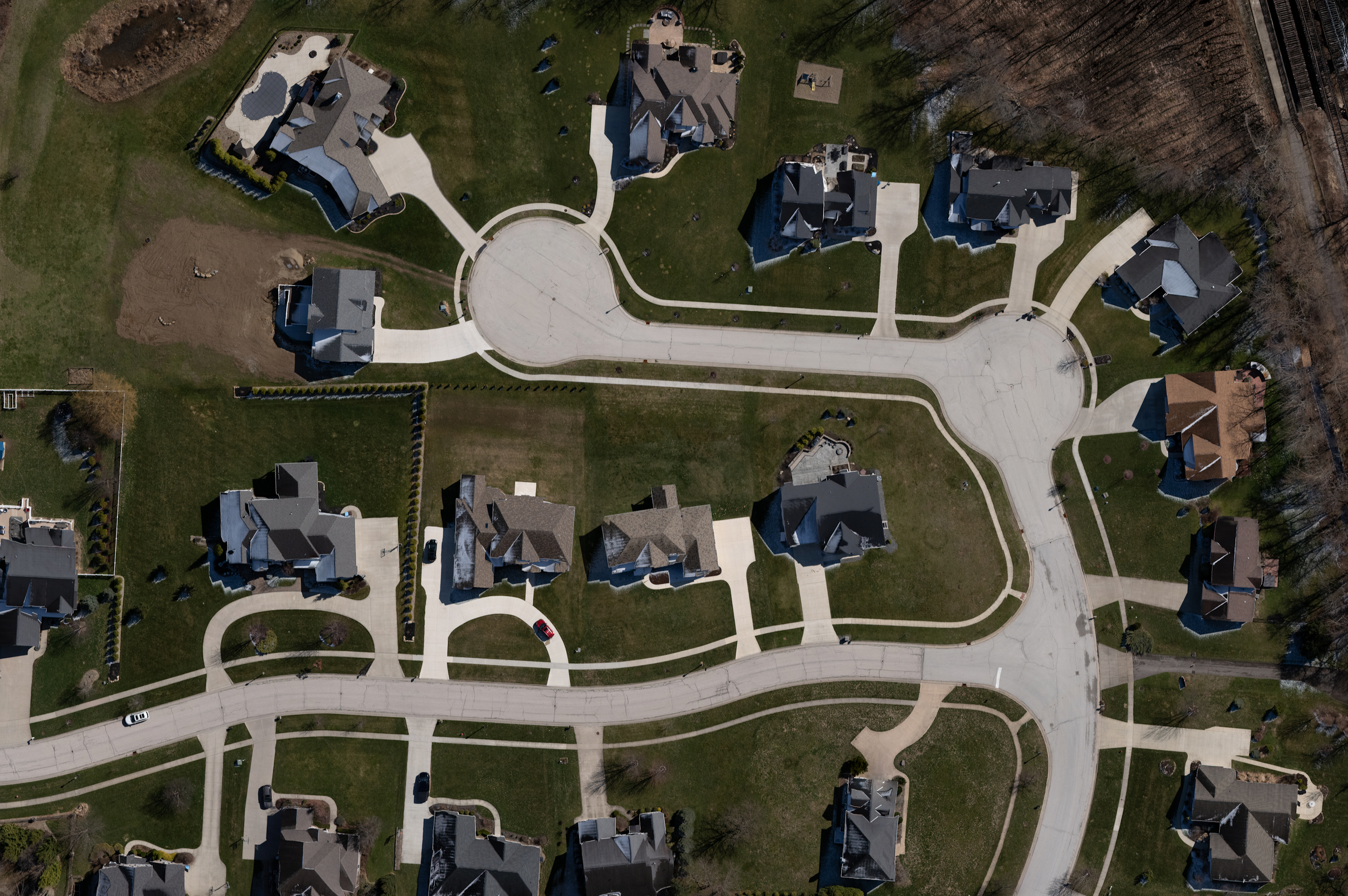
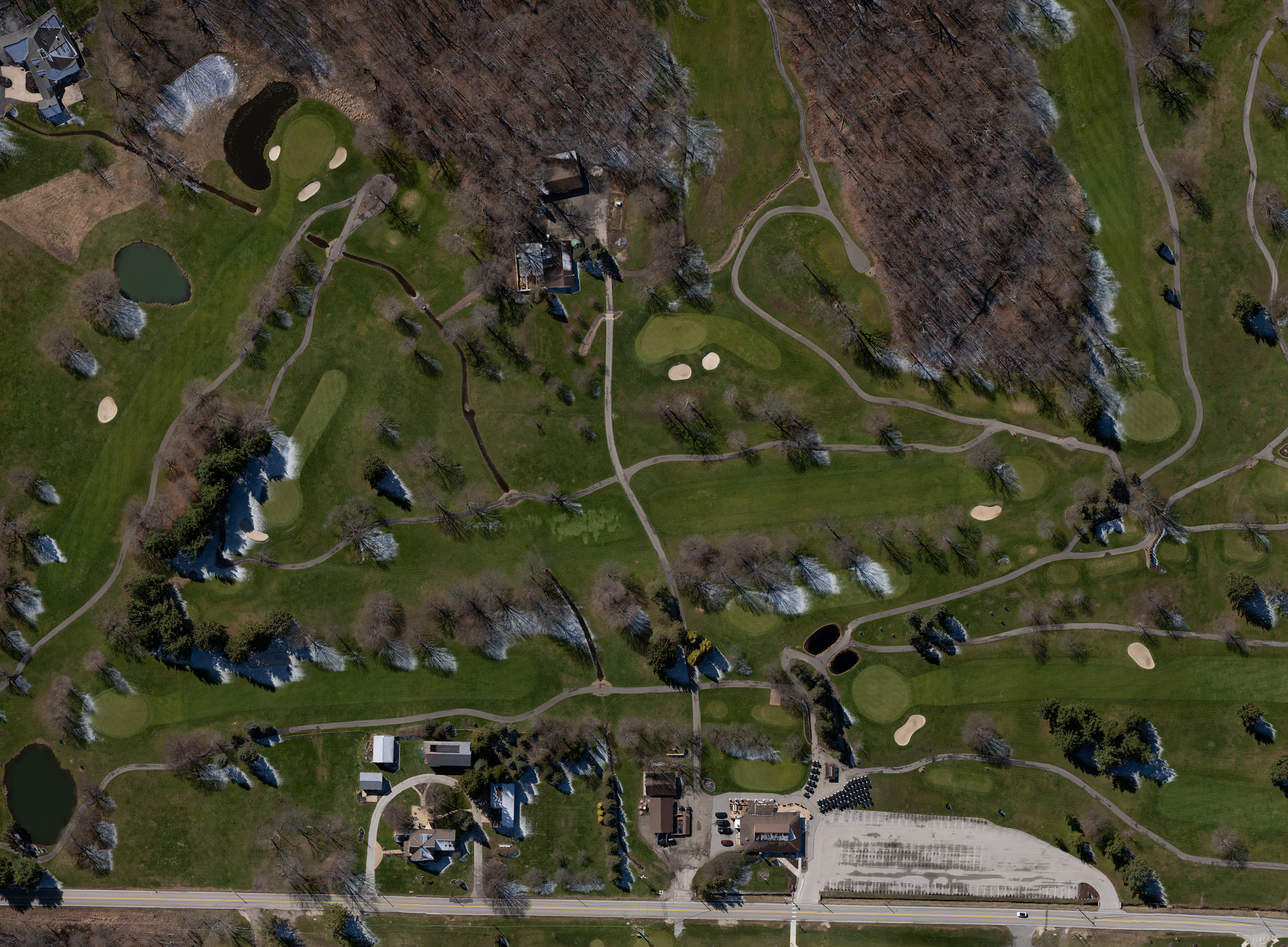
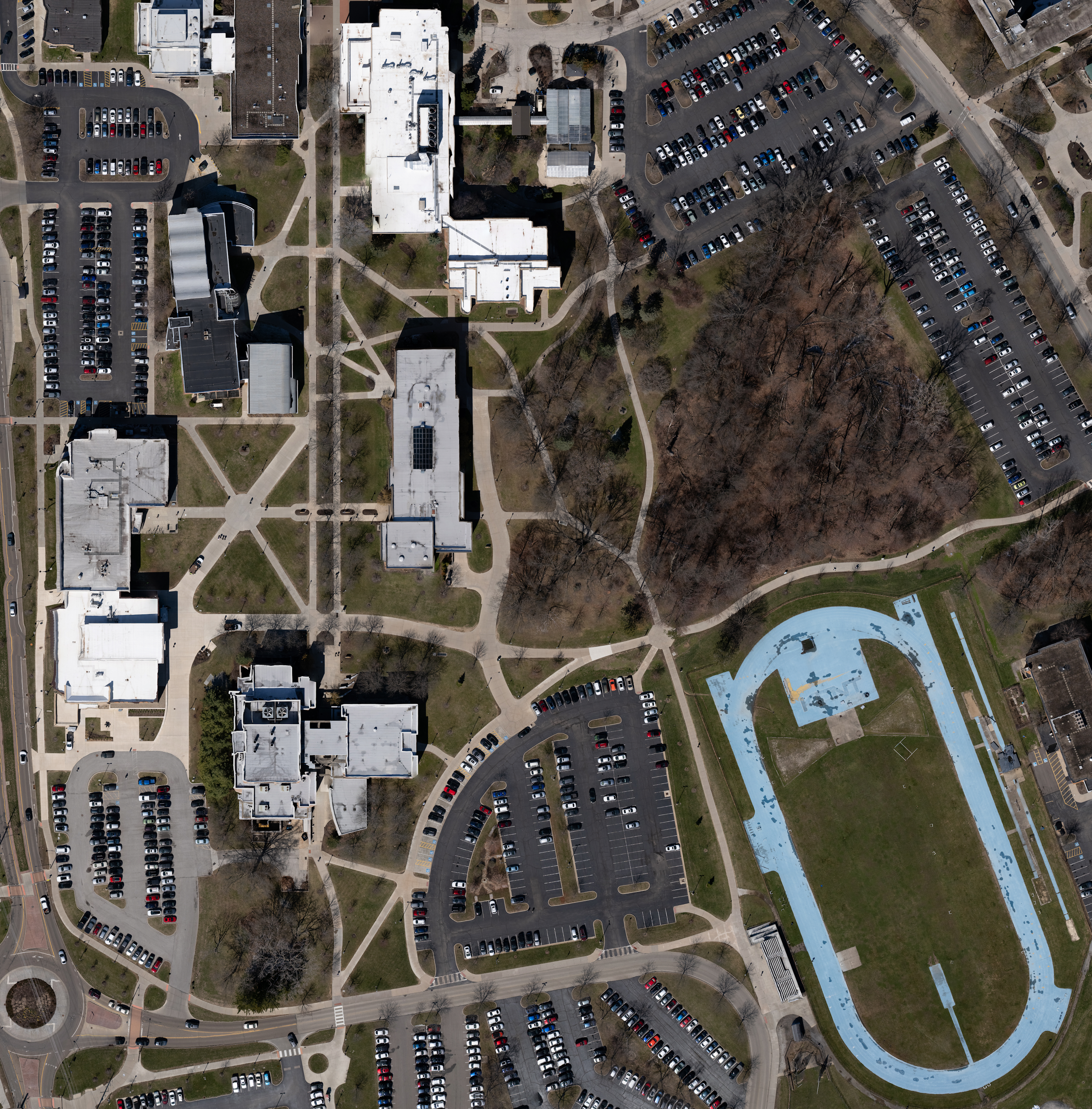
Think of this as a high definition, custom version of Google Earth for your specific property. 2D Orthomosaic Mapping takes hundreds of high-resolution drone photos and stitches them together into one massive, perfectly flat image. Unlike a regular drone photo, this map is corrected for perspective, meaning every measurement is accurate. It gives you a clear, top down view of your entire site with incredible detail, allowing you to zoom in on even the smallest features.